This addition to the conserved area complex at Point DeRoche is 200 acres of ecologically significant dunes, wetlands, and forest. It expands on Natural Areas owned by Island Nature Trust, the Province of Prince Edward Island, and the Nature Conservancy of Canada. This region is significant to Island Nature Trust and holds deep historical, cultural, and ecological importance.
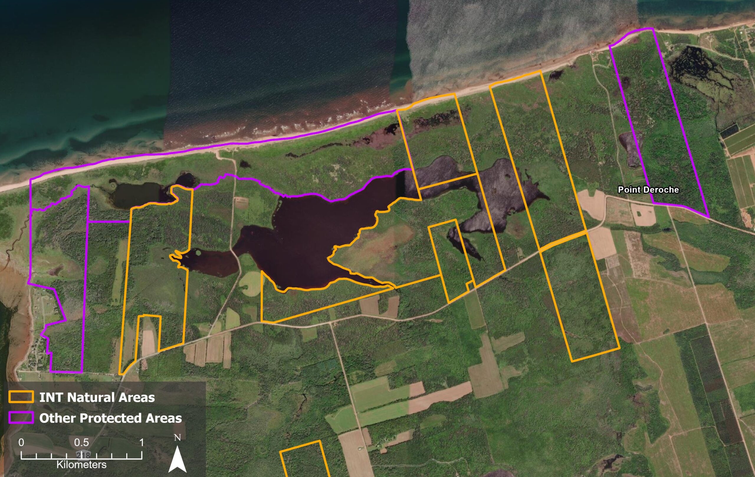
Natural Area Map (Work in Progress)
Acquisition and Legal Status
This property was purchased in 2025 from the McCormack Family who owned the land since the 1790s. This acquisition was made possible thanks to funding from:
- The MapleCross Foundation
- The ECHO Foundation
- The Government of Prince Edward Island
- The Government of Canada
The MapleCross – DeRoche Pond Natural Area is currently in the process of being protected under the PEI Natural Areas Protection Act.
Funding for this acquisition was provided by Environment and Climate Change Canada through the Forested Landscape Priority Place under the Pan-Canadian approach to transforming Species at Risk conservation in Canada.
Landscape Context
This new parcel is one of many conserved lands at Point DeRoche. Over 1,600 acres of land has been protected in the region by Island Nature Trust, the Nature Conservancy of Canada, and the Government of Prince Edward Island.
Ecological Description
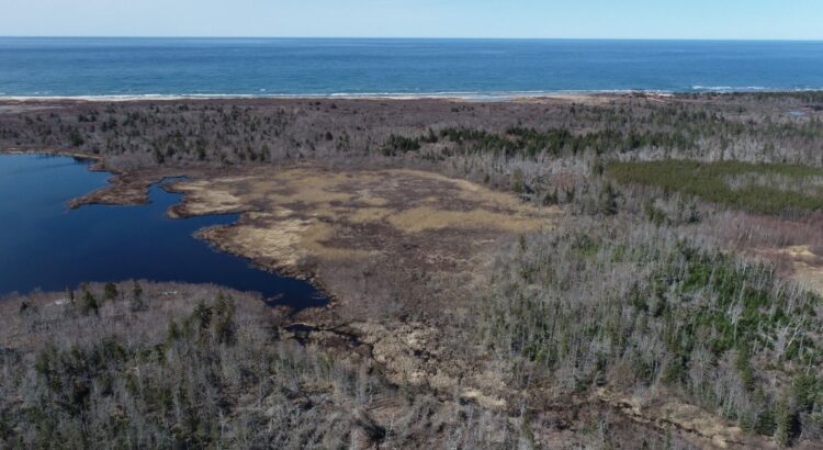
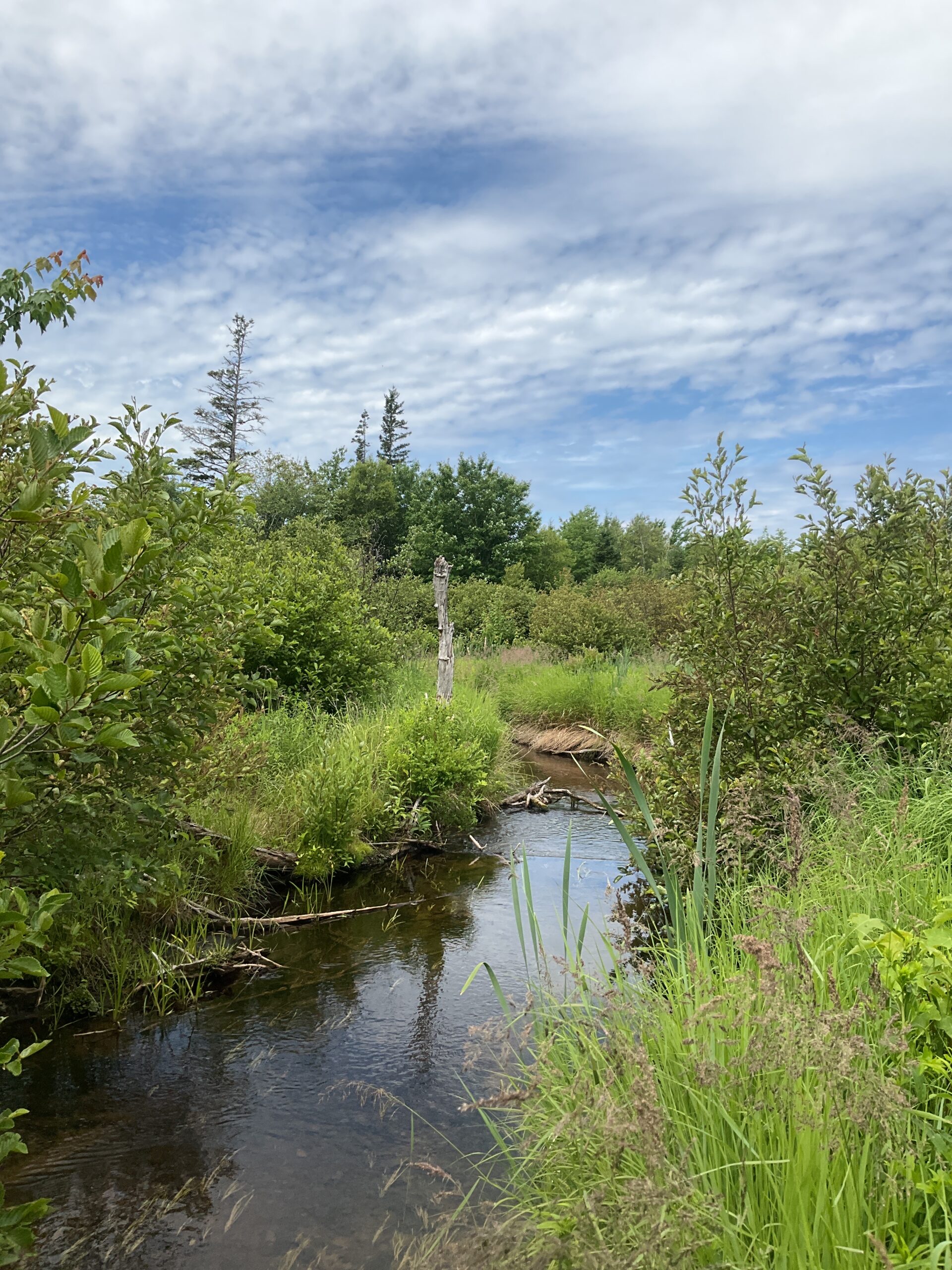
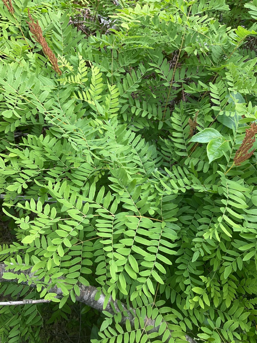
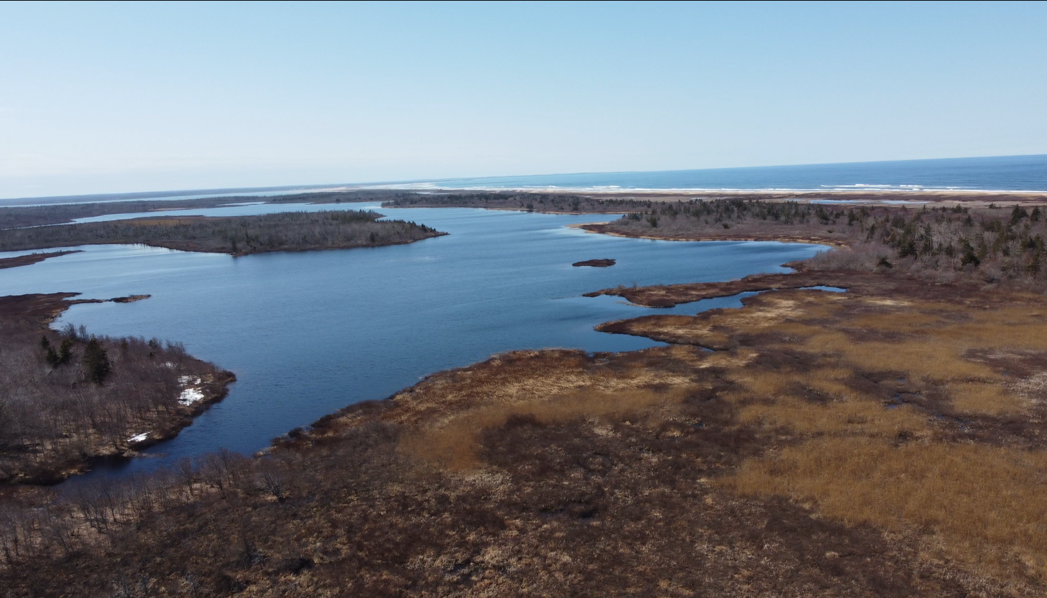
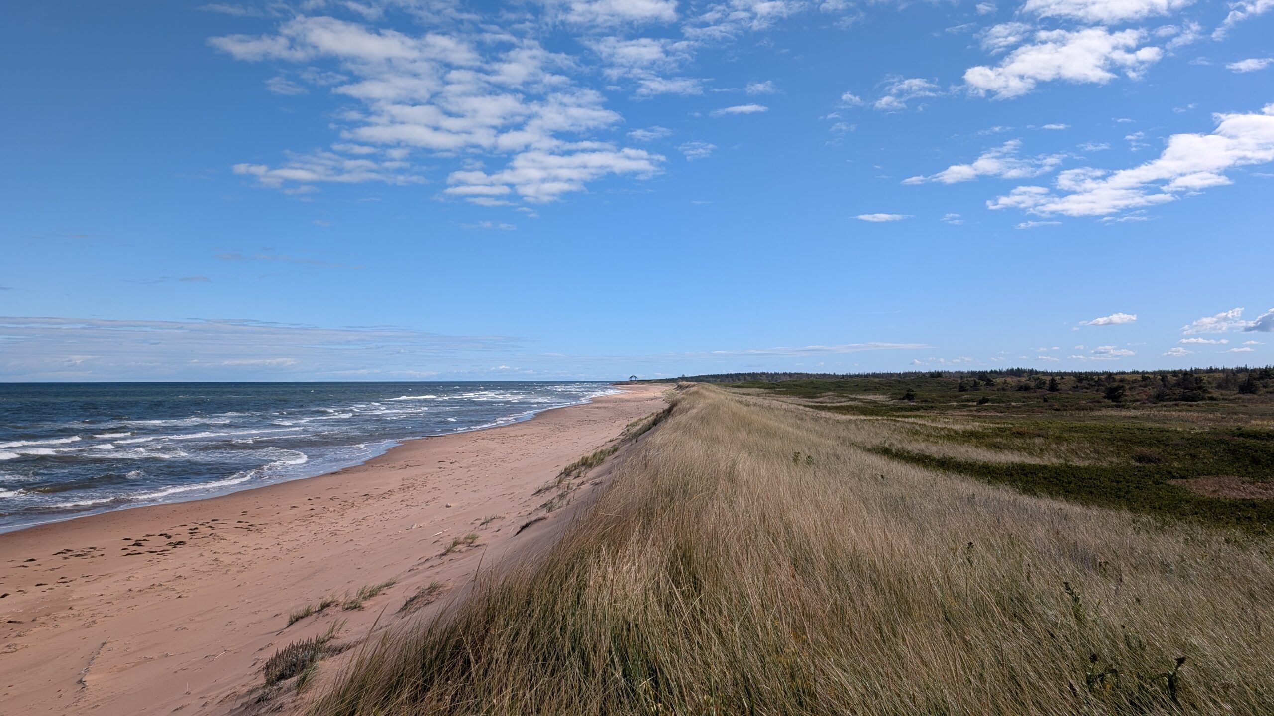
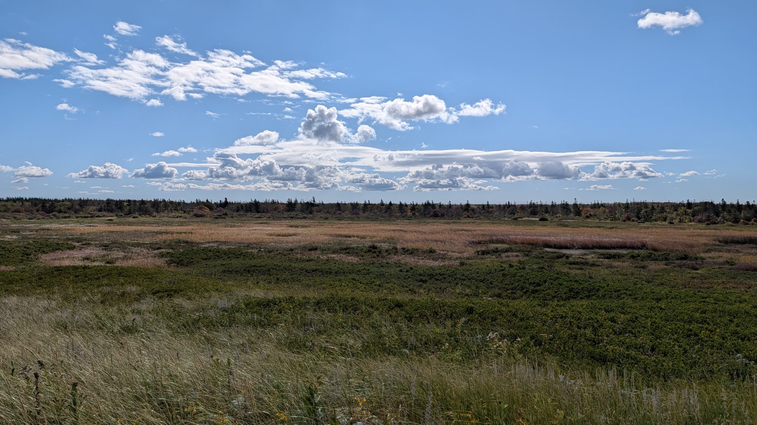
This parcel contains the easternmost end of the Point DeRoche Pond, a large freshwater pond just south of the Blooming Point beach as well as several tributaries of the DeRoche Pond River. The half of the parcel, which is north of Point DeRoche Road, is characterized by dune, back dune wetlands, the DeRoche Pond, and a serviceberry (Amelanchier spp.) – red maple (Acer rubrum) – white spruce (Picea glauca) – white birch (Betula papryifera) forest. The southern half of the proeprty contains a shrubby bog that is dominated by red spruce (Picea rubens), tamarack (Laxir laricina), common winterberry (Ilex verticillata), leatherleaf (Chamaedaphne calyculata), chokeberry (Aronia melanocarpa), and rhodora (Rhododendron canadense). The southern forest is characterized by early successional species such as red maple, white birch, and trembling aspen (Populus tremuloides). The southern tributary of the DeRoche Pond River has expanded into an open-water pond due to the long-term effects of North American beaver (Castor canadensis) activity.
A habitat suitability model created by the Atlantic Canada Conservation Data Centre habitat suggests that the ecosystems present on this property support the Canada warbler (Cardellina canadensis), a federally listed species at risk in 2025.
Access
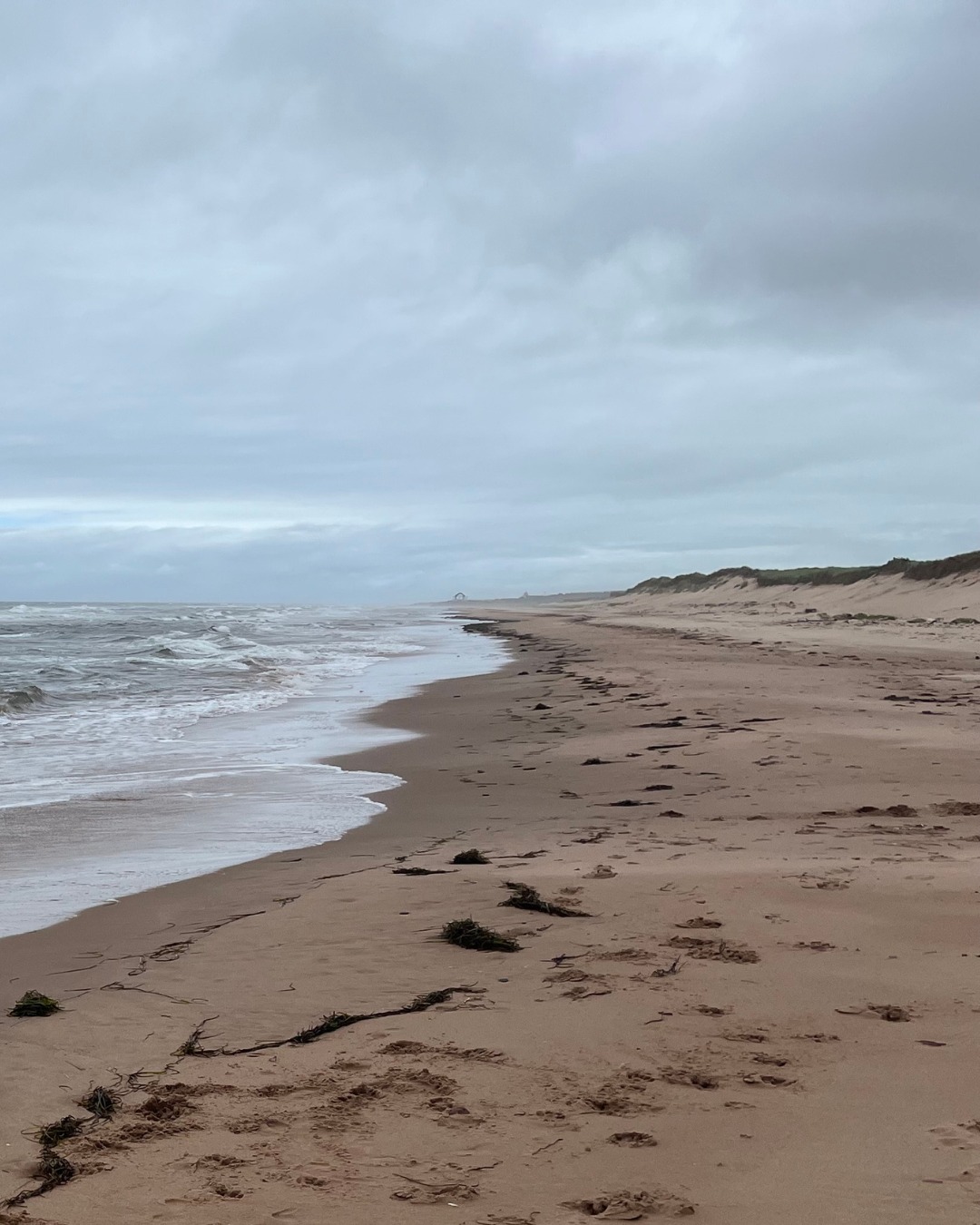
This property can be accessed via Point DeRoche Road on the north and south, as well as by water (DeRoche Pond) and along the coast (Blooming Point Beach). There are no trails located on this property, and those visiting should be familiar with bushwhacking and have orienteering supports such as a GPS.
For more information on access to our natural areas, please contact our Land Stewardship Team.