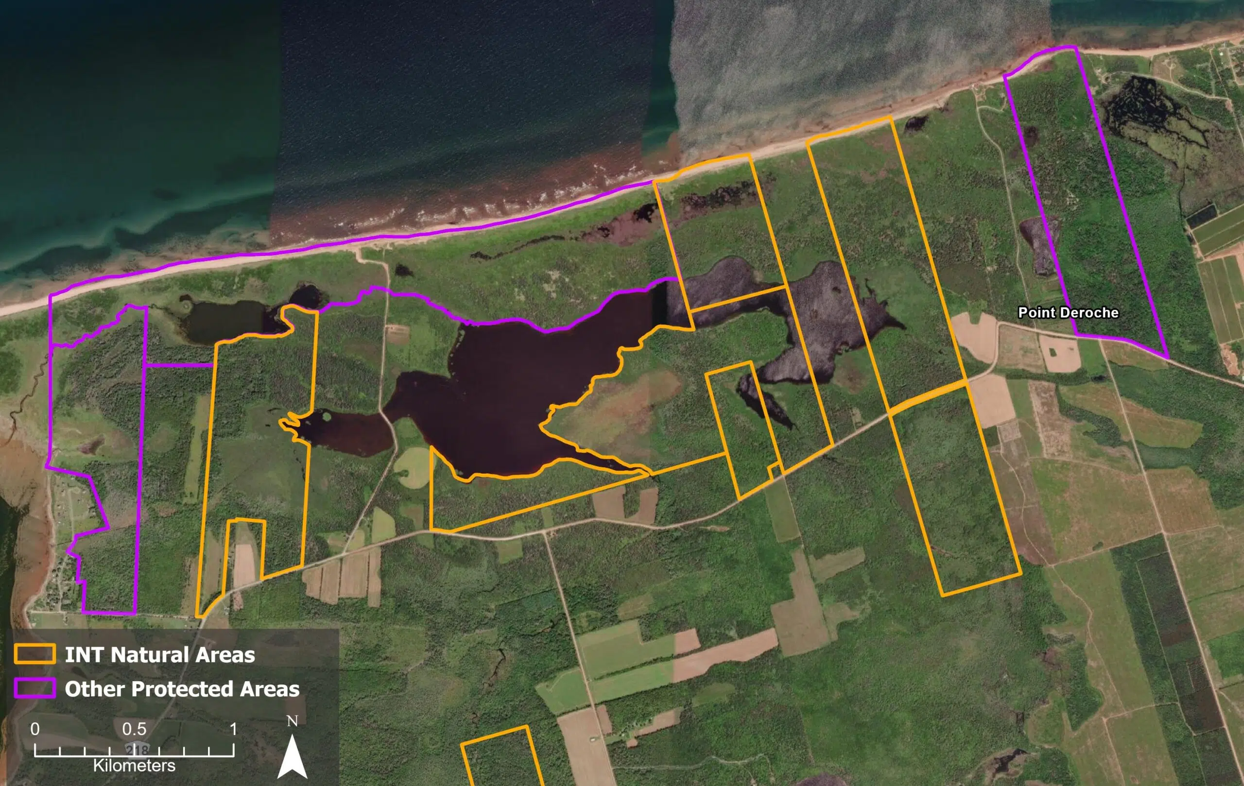
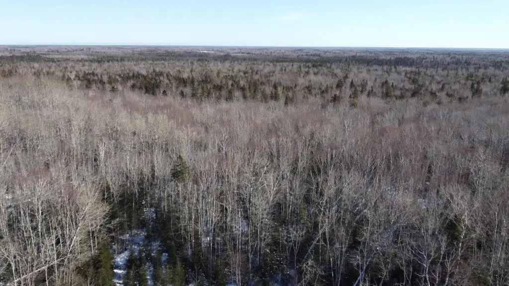
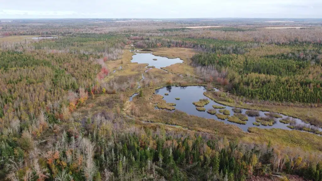
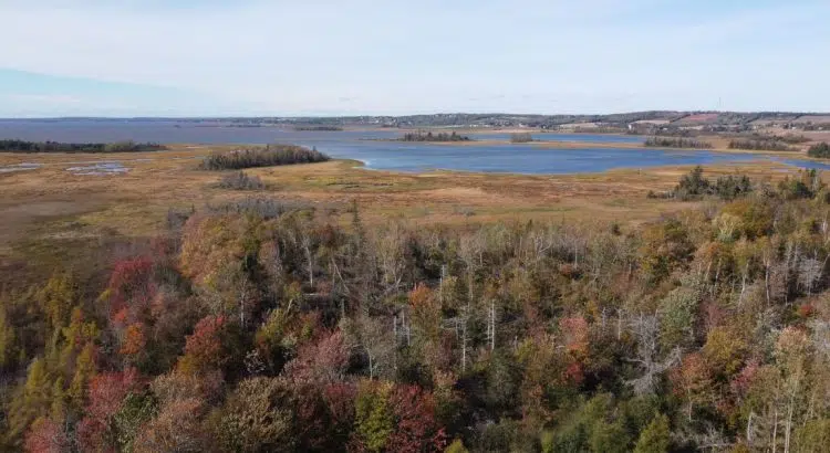
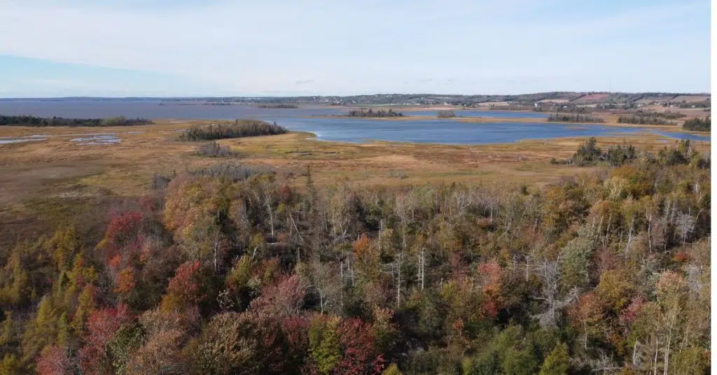
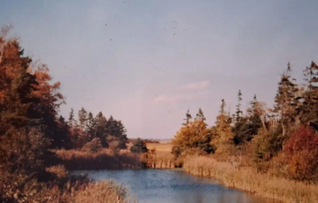
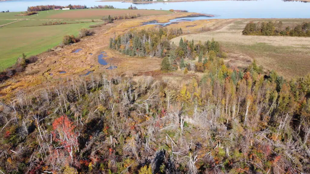
The Bovyer Creek Natural Area is 28.39 acres situated on the Fullerton Inlet at the confluence of Bovyer Creek and Fullerton’s Creek in Bunbury, just east of Stratford. The stretch of Fullerton Creek is situated just off the Hillsborough River estuary, known as Elsitkuk, which is PEI’s largest river system and holds deep cultural, ecological, and historical importance. This region of PEI is heavily impacted by residential development, and the donation of the Bovyer Creek Natural Area offers an opportunity to ensure that a natural space within this area is conserved in perpetuity. The northwestern extent of the property is dominated by a salt marsh that extends south from Fullerton’s Creek and Bovyer Creek. The salt marsh transitions into a century-old farm field and a multigenerational mixedwood forest that extends to the southern end of the property.
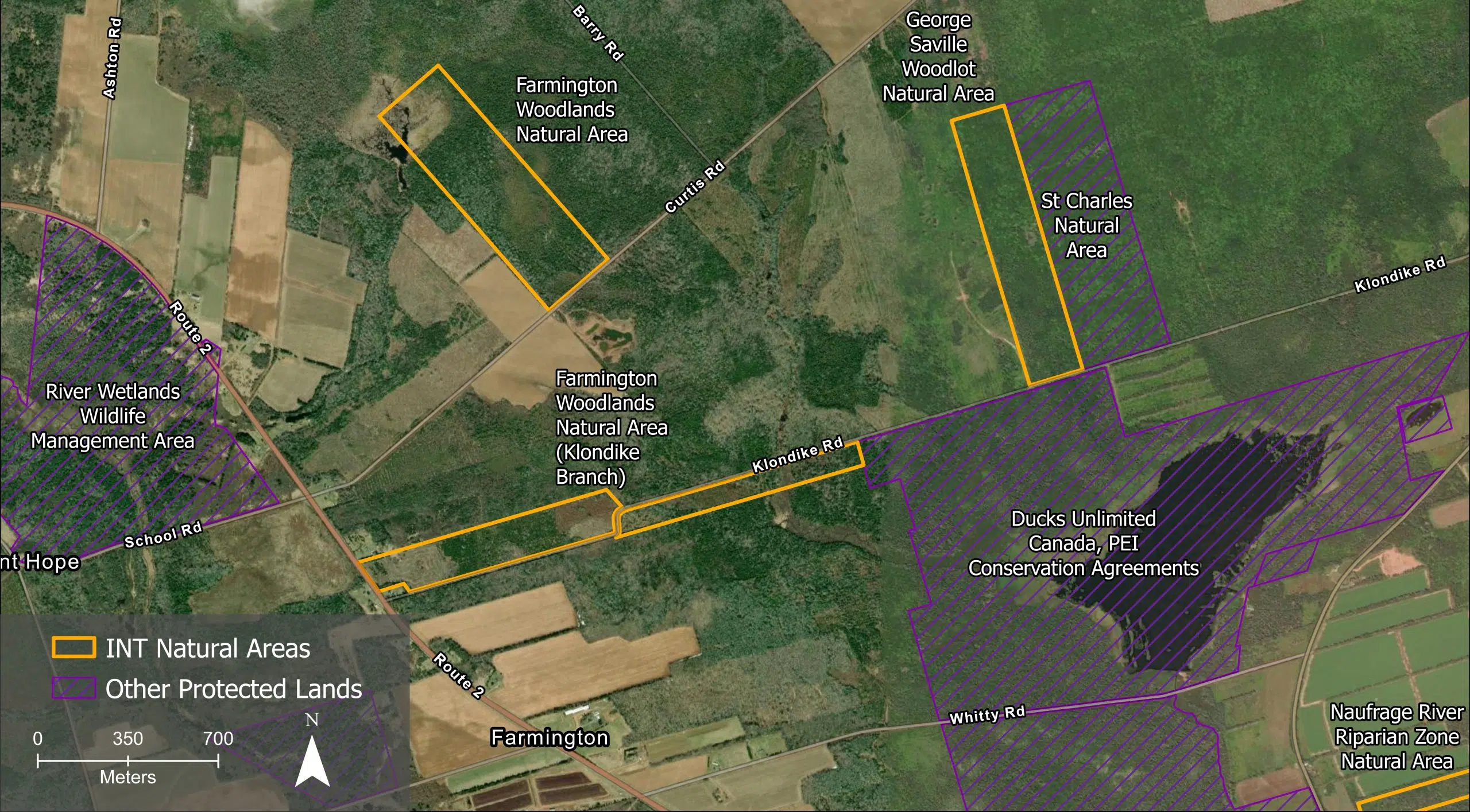
Natural Area Map
Acquisition and Legal Status
Originally acquired by John Bovyer between 1763 and 1816, this property was part of a greater 895-acre farm. Six Bovyer descendants donated the Bovyer Creek Natural Area in November of 2025 through a split-receipt, with a portion of the land purchased with funding from the Government of Prince Edward Island.
To learn more about this generous donation, click here.
“The Bovyer/Jones history are progressive values and civic engagement and included PEI’s first female doctor in the 1880s, a justice of the peace, the first PEI patent, a church deacon, a minister of agriculture, a deputy minister of agriculture, and a premier. I believe these people would be happy that part of their property will be a protected natural area. Many thanks to the staff at Island Nature Trust for supporting this and for their dedication.”
Joyce Dewar, one of six family donors and past INT Board Member
Bovyer Creek will be protected as a Conservation Area to allow for management of the property as it is remediated to a Wabanaki – Acadian forest. In the coming years, INT will work to improve and expand buffer zones along Fullerton’s Creek and Bovyer Creek. As part of these efforts, a small open-air nursery was established in November 2025. Seeds were planted from over ten native species to create a stock of locally grown trees and shrubs that can enhance INT’s Natural Areas, including this property. Once the property is in a more naturalized state, it will be protected under the PEI Natural Areas Protection Act.
This donation of land was made possible thanks to the Government of Canada’s Ecological Gift Program. This Program provides a way for Canadians with ecologically sensitive land to protect nature and leave a legacy for future generations. Made possible by the terms of the Income Tax Act of Canada and the Quebec Taxation Act, it offers significant tax benefits to landowners who donate land or a partial interest in land to a qualified recipient. Recipients ensure that the land’s biodiversity and environmental heritage are conserved in perpetuity. LEARN MORE
Landscape Context
Located just outside of the Town of Stratford, Bunbury is primarily comprised of residential and agricultural lands with few remaining forested or natural spaces. The northern extent of this property acts as a barrier protecting the urban communities of Bunbury from storm surges, winds, and high spring tides that continue up the brackish inlet to Fullerton’s Creek from the Hillsborough River estuary and the Charlottetown Harbour.
The Hillsborough River has a significant cultural history for both the Mi’kmaq and the Acadians. Being Prince Edward Island’s longest river, the Hillsborough, or “Elsitkuk – The place where water flows out but you cannot see where it originates from“, served as an important transportation route both before and after European settlement. The river’s productive waters have long supported traditional harvesting activities, including fishing for a variety of species such as American eel, as well as shellfish and other marine resources.
Ecological Description
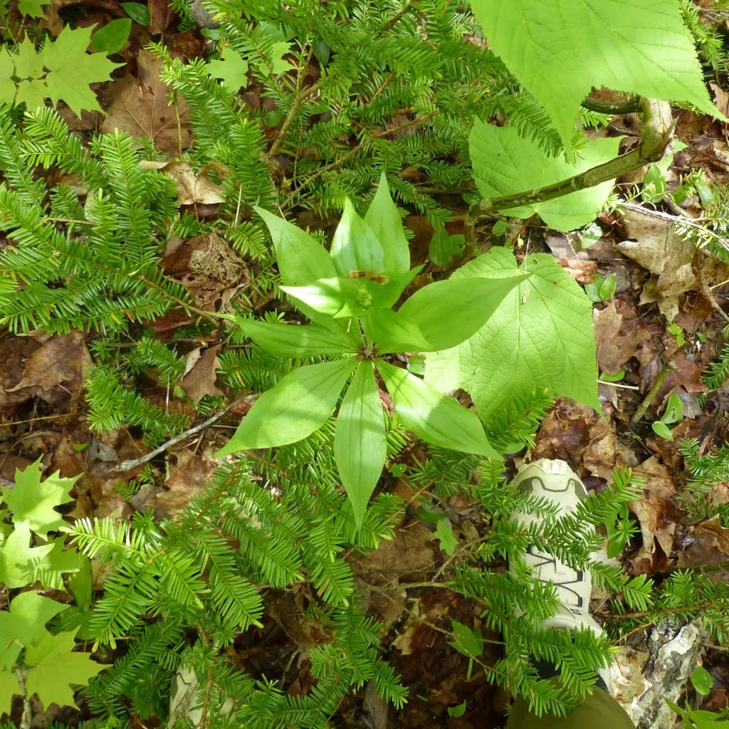
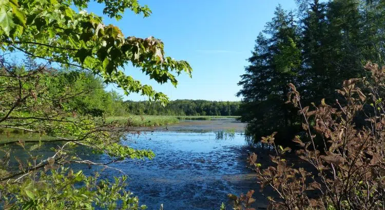
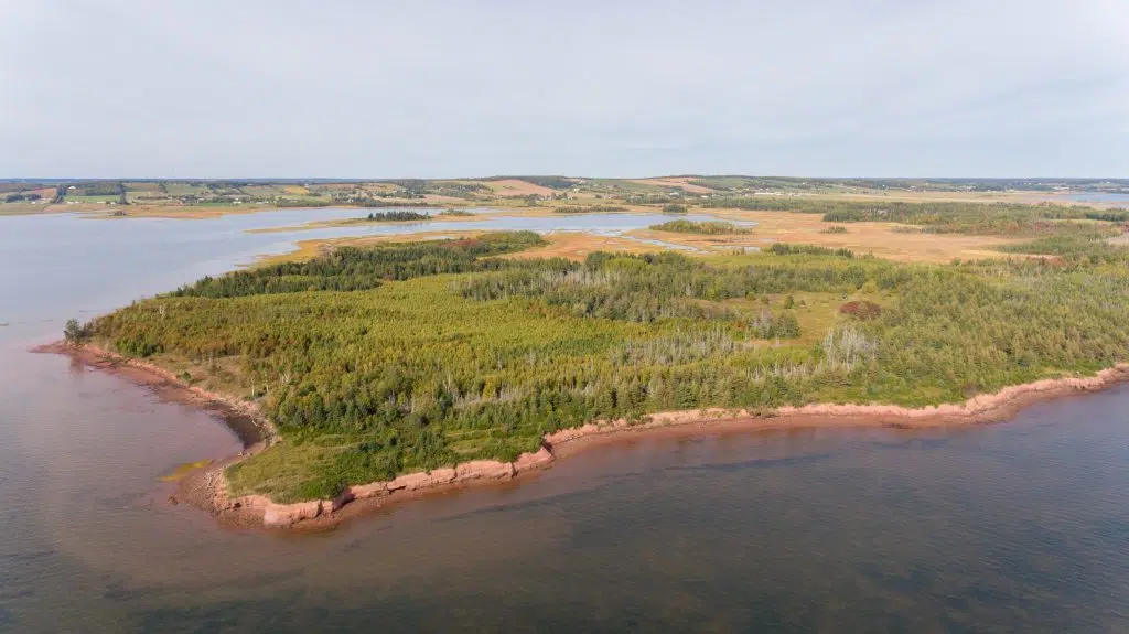
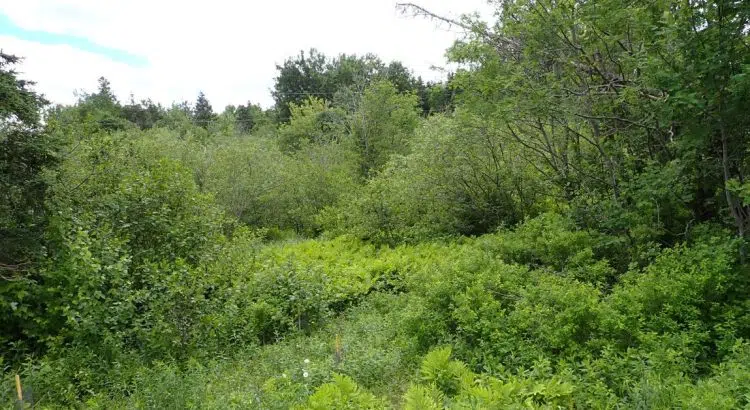
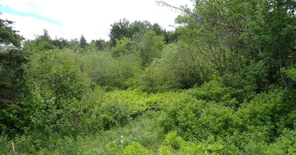
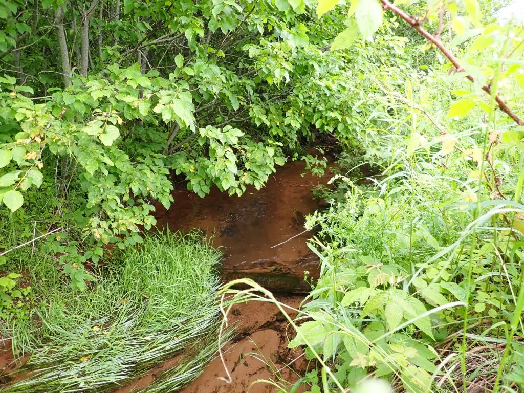
The Bovyer Creek Natural Area supports a diverse range of ecosystems within a relatively small landscape. The property includes over 150 metres of frontage along Fullerton’s Creek, portions of which transition into a salt marsh that extends into the northern and western areas of the property. Inland from the shoreline, the landscape includes freshwater riparian zones, retired organic farm fields, and mixedwood forests representing multiple generations of growth.
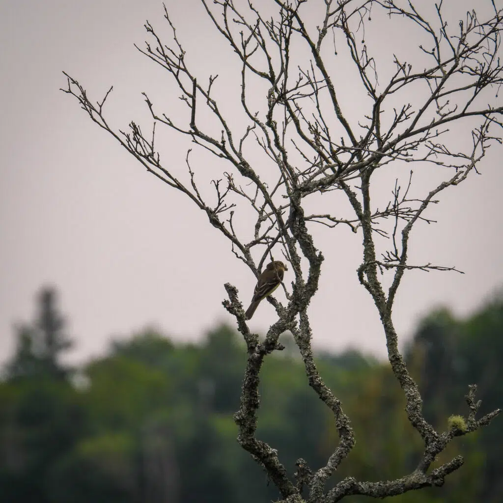
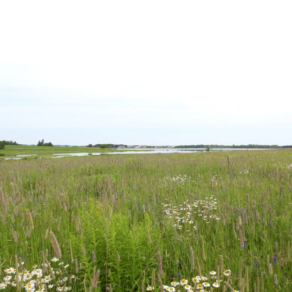
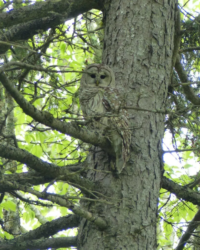
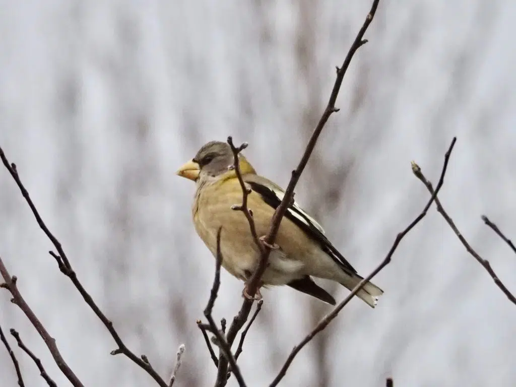
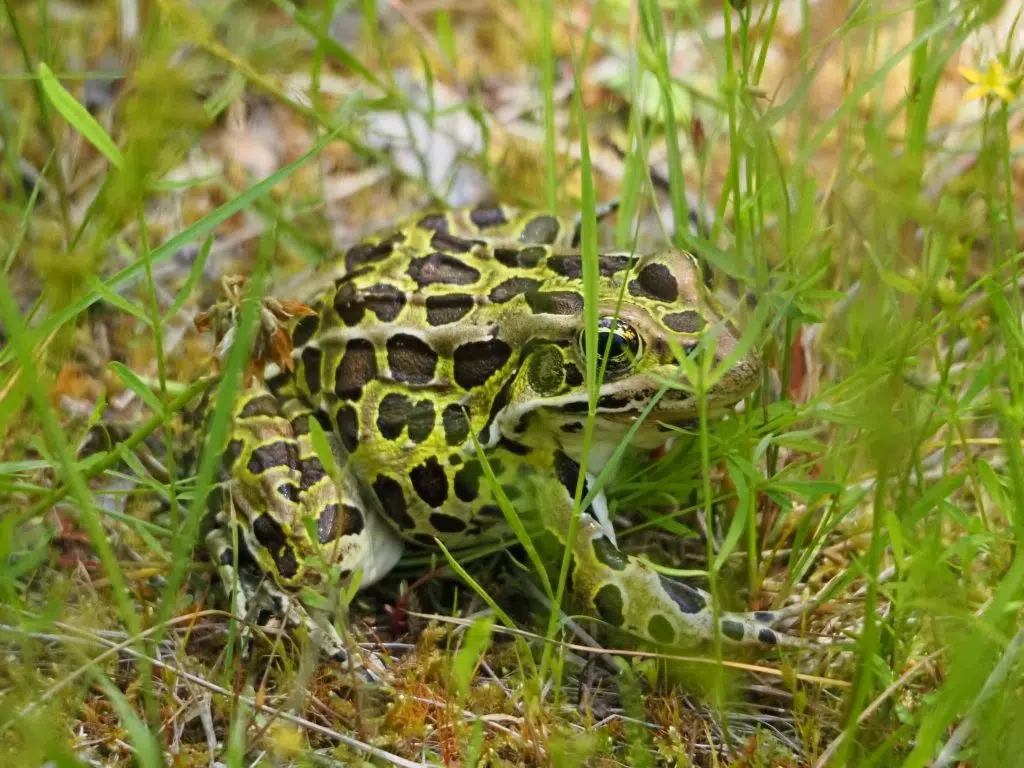
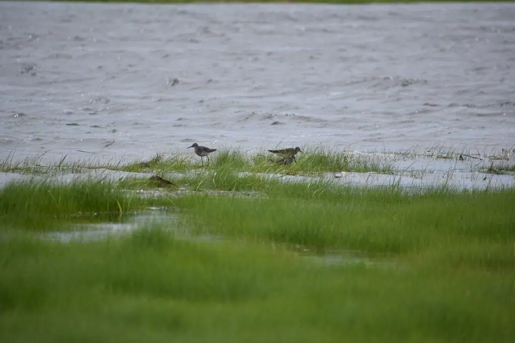
The western boundary follows the natural meander of Bovyer Creek, where the mixing of freshwater and saltwater creates productive marsh habitat that supports a wide variety of plant and wildlife species. A variety of songbirds, waterfowl, and shorebirds rely on these environments for feeding and resting during seasonal migrations.


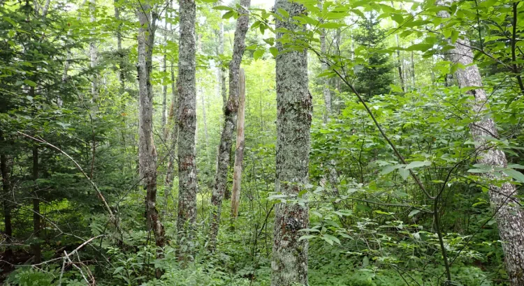
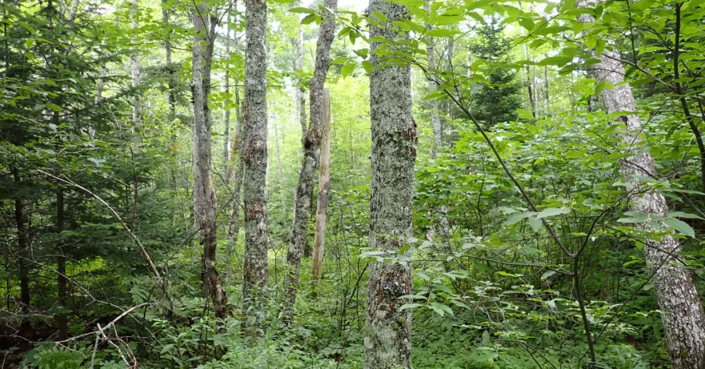
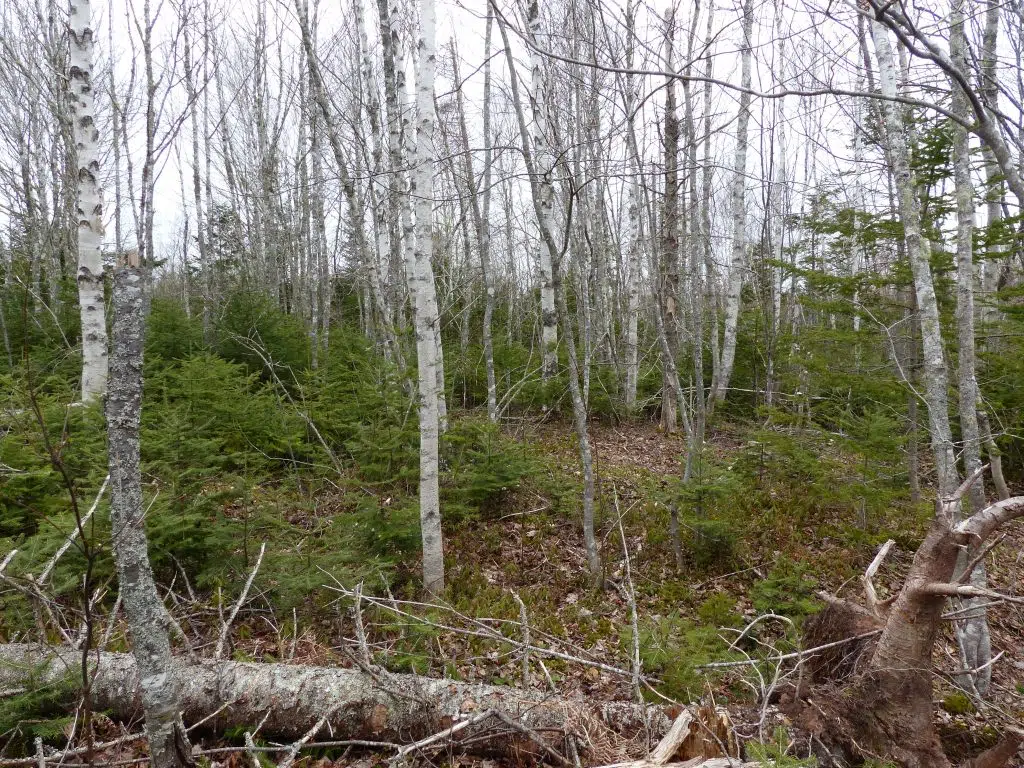
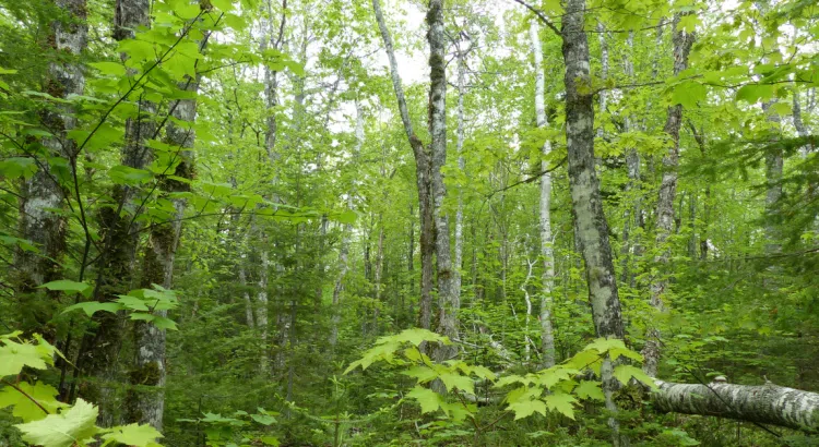
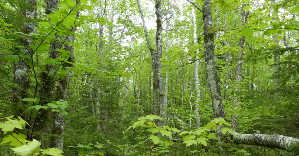
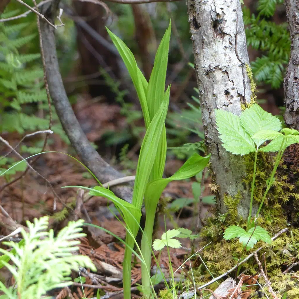
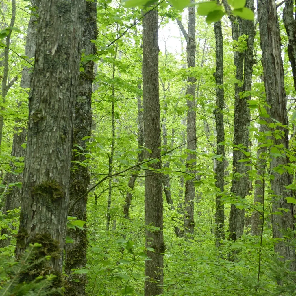
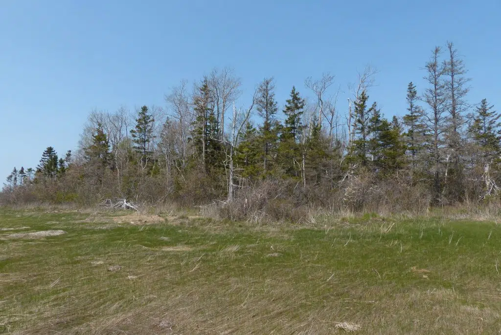
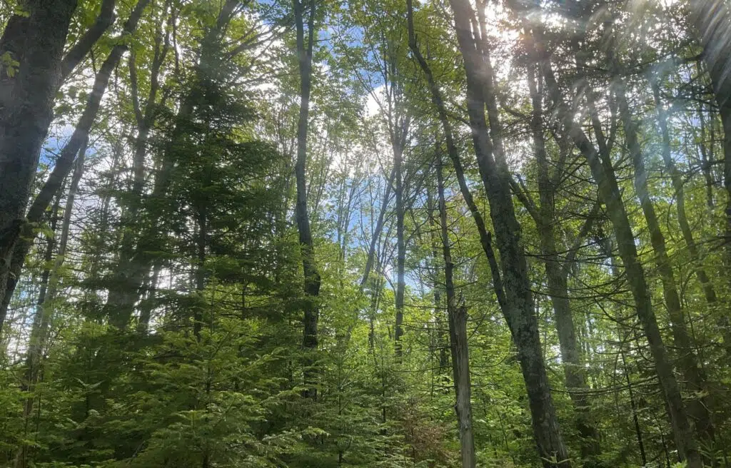
The southern portion of the property is characterized by a multi-aged mixedwood forest containing white spruce (Picea glauca), red maple (Acer rubrum), trembling aspen (Populus tremuloides), and tamarack (Larix laricina).
Ecosystem Restoration
In November 2025, INT staff established a small open-air nursery on the property using seeds from ten native species. This nursery will help build a supply of locally grown trees and shrubs to support biodiversity across INT’s Natural Areas, including here.
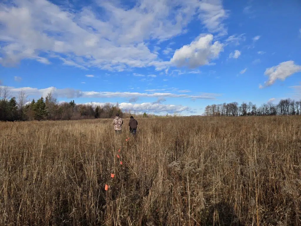
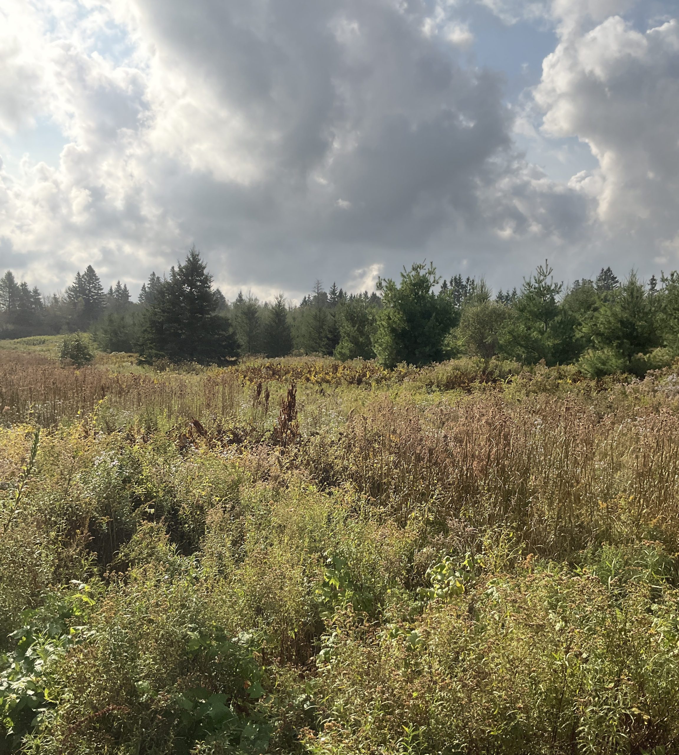
The nursery is located at the southern end of a former organic farm field that characterizes the northern end of the property. This field has been retired from production for over five years, creating opportunities for natural regeneration and future habitat restoration that will help mitigate erosion along Fullerton’s Creek.
In the coming years, INT will work to enhance and expand buffer zones along Fullerton’s Creek and Bovyer Creek.
History
This property’s history includes a variety of unique past uses, including a fox farm (Bunbury Black Fox Co.), shingle mill and dam, and a section of the decommissioned Prince Edward Island Railway. In September 1951, twelve white-tailed deer (Odocoileus virginianus) were released in Bunbury on the property of the late Premier Jones as part of a larger reintroduction project begun in 1949–1950. Most of these deer were gone by the early 1960s, with no deer remaining on the island. These historical layers add a rich cultural dimension to the property, illustrating its long-standing connection to human activity and wildlife management in the region.


Access
The Bovyer Creek Natural Area has no trails; those visiting can do so only on foot and should have a good comfort level with navigating using a compass or GPS. The property is accessible via Bunbury Road. No campfires or overnight camping are allowed on Island Nature Trust Natural Areas.
For more information on access to our natural areas, please contact our Land Stewardship Team.